Engaging Ways to Teach the Regions of the United States in 4th and 5th Grade
- Jun 15
- 2 min read
Teaching the regions of the United States is such an exciting social studies unit for upper elementary students! Not only do students learn important geography skills, but they also explore how different landscapes, cultures, climates, and resources influence life across our country. If you're searching for fun and engaging ways to bring the U.S. regions to life, here are several activities that your fourth and fifth-graders are sure to enjoy!
Start with a Map Exploration
Before diving into individual regions, give students a chance to explore the entire country. Display a large map of the United States and discuss the five commonly taught regions: Northeast, Southeast, Midwest, Southwest, and West.
Have students identify:
States and capitals
Major rivers and mountain ranges
Oceans and borders
Regional boundaries
Using both political and physical maps helps students understand how geography influences each region.


Research Regions of the United States
Assign students a specific state or region to research. Their project might include:
State symbols
Geography
Historical landmarks
Economy
Interesting facts
Students can present their findings through posters, slideshows, or digital presentations.


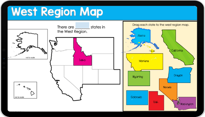
Use Hands-On Map Activities
Interactive learning helps students retain information. Try matching activities where students sort:
States into regions
Capitals to states
Landforms to regions
Regional symbols and landmarks
Students enjoy moving pieces around while practicing important geography concepts.

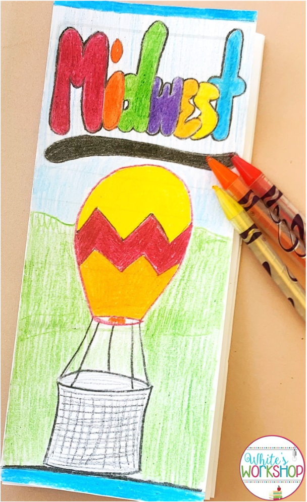
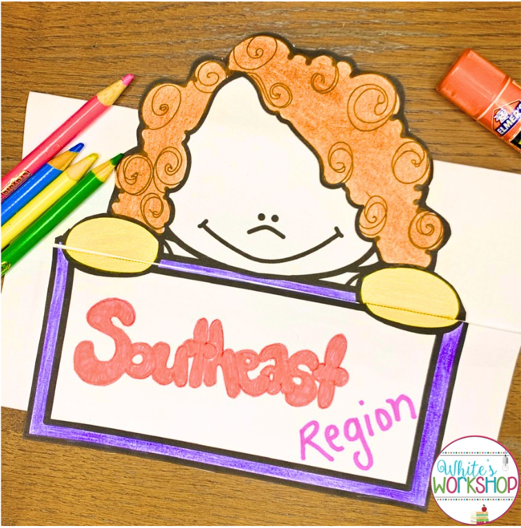
Create Regional Project
Turn your students into travel agents! Assign each student or group a region and have them create a travel brochure highlighting:
Famous landmarks
Major cities
Climate
Landforms
Natural resources
Popular tourist attractions
Students can include pictures, maps, and fun facts to persuade others to visit their assigned region.

Incorporate Digital Mapping Activities
Many students enjoy using technology to explore geography. Digital mapping activities allow students to:
Label states and capitals
Identify physical features
Explore regional boundaries
Complete interactive drag-and-drop activities
These activities provide additional practice while keeping students engaged.
Play Geography Review Games
Review doesn't have to be boring! Try:
Regions Bingo
Google Forms
State and Capital Task Cards
State and Capital Scoot
Geography Jeopardy
Digital quiz games
Mystery State Challenges
Friendly competition motivates students and reinforces important concepts.

Connect Learning to Real Life
Ask students if they've had the chance to visit other states or regions. Invite them to share their experiences and talk about how what they've seen compares with what they're learning. Making these personal connections can make geography more interesting and easier to remember.
Final Thoughts
Teaching the regions of the United States provides endless opportunities for exploration, critical thinking, and hands-on learning. By combining maps, research projects, interactive activities, and technology, you can help students develop a strong understanding of our country's geography while making social studies fun and engaging.
Whether you're introducing regions for the first time or reviewing geography skills, these activities will help your fourth and fifth-grade students become confident young geographers ready to explore the United States!
Looking for ready-to-learn materials? Check out the following resources:

This resource focuses on map skills and states within the 5 U.S. Regions. This resource includes 5-6 engaging activities.

This resource provides informational text that can be integrated into your ELA and SS blocks. 20% discount on bundles.

This bundle reinforces regions, states, and map skills such as latitude and longitude.
20% discount on bundles.


